Maps & Geological Sections
The printing of coloured geological maps tended to be the most expensive part of producing scientific reports in the 19th century, but thanks to the invention of chromolithography, mass production of 500 copies was no longer an unrealistic undertaking. Previously maps were hand-coloured, and the consequently prohibitive costs had resulted in Haast's first major published report being produced without the accompanying maps he had prepared. By the time he come to publish this 'final' report, he spared no effort in ensuring the maps were both accurate and attractive, serving the book well.
The main colour maps were prepared in Canterbury by draughtsmen working under Haast's direct supervision, and the manuscript maps were sent to Vienna where they were printed by F. Köke. In order for the various colours to be printed, a whole series of limestone 'plates' - one for each colour - would have been prepared, and each sheet of paper placed on each of these inked stones in turn. No matter how much care was taken in the preparation of the plates, the inherent difficulty of the process was the accurate alignment of the paper on the plate.
This difficulty almost invariably resulted in more or less obvious colour shifts - which serve as good indicators of the process used in the printing of the maps and geological sections.
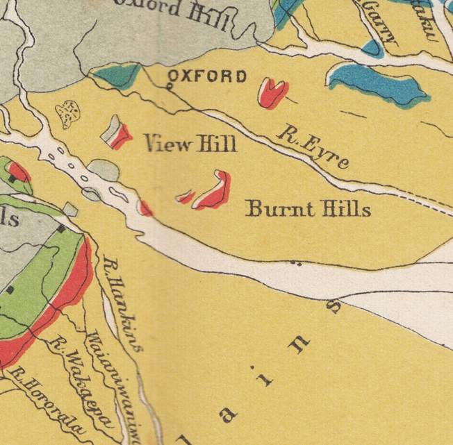
The other major characteristic of colour lithography is the very flat, even application of the colours - almost without any texture.
One of the other issues commonly associated with print production of chromolithographs using multiple plates, was the fact that it was not generally possible to make changes or corrections once the plates were finished. It was then common practice to make minor corrections by hand to the finished prints as required.
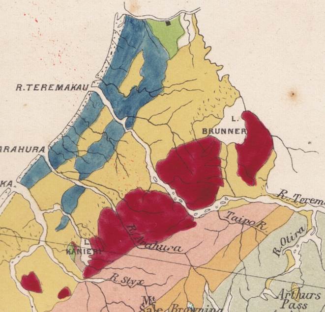
In the main Geological Map we can see evidence of hand colouring in both the dark red and blue portions of the map. This is apparent from the noticeably uneven application of the ink, with some brushstrokes visible. The colours are a very close match to the original printed colours, but with a greater concentration of pigment in some areas, resulting in the slightly darker and uneven finish.
One of the other issues commonly associated with print production of chromolithographs using multiple plates, was the fact that it was not generally possible to make changes or corrections once the plates were finished. It was then common practice to make minor corrections by hand to the finished prints as required.
In the main Geological Map we can see evidence of hand colouring in both the dark red and blue portions of the map. This is apparent from the noticeably uneven application of the ink, with some brushstrokes visible. The colours are a very close match to the original printed colours, but with a greater concentration of pigment in some areas, resulting in the slightly darker and uneven finish.